
Aquatic Invertebrates of Montana
Little Prickly Pear Creek Project
Introduction
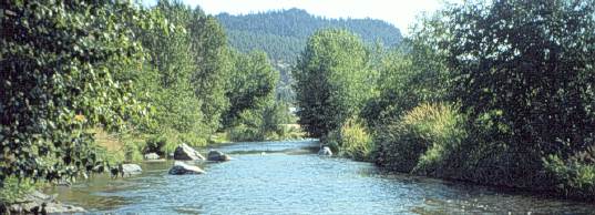
Little Prickly Pear Creek is a very important spawning stream for both rainbow trout and brown trout in the blue ribbon section of the Missouri River below Holter Dam. The area tested negative for whirling disease in 1995, but both the creek and the river tested positive in 1996. The infection rate and the infection level within infected fish are currently low and the infection is thought to be very recent. The Montana Department of Fish Wildlife and Parks wants to use this area to study the spread and intensification of the disease and to study management options.
Study Area Maps
All of the maps below, except for the overview map are linked to the same locater program that will give position coordinates as latitude/longitude, UTM and TRS for any point. It will also give the elevation, gradient and aspect direction, identify nearby named places with the nearest one also identified. If the position is on a major stream, the program will identify the river km for that stream, measured from the mouth. If the position is near a worm sample location, the data for that site will also be given.
- Overview of the Blue Ribbon section of the Missouri River.
- Map with roads, railroads, and water
- Map with water only
- Map with water within the drainage only
- Map with water and worm sample results
Preliminary Results
Acknowledgements
Charles E. Wood (CEW in the data) helped a great deal in the initial exploration of the area and with nearly all of the August and September 1996 worm samples.
26 AUG 1996, Updated 26 OCT 1996D.L. Gustafson Back to the WWWWW